Current View

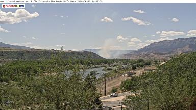
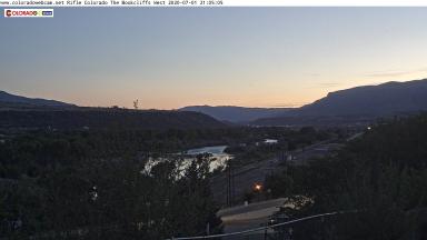
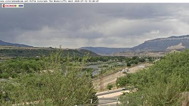
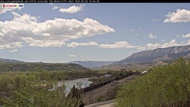
One of two webcams in Rifle Colorado. This camera is looking west above Hwy 13 and US 6 at the entrance to Rifle. The camera has a long shot of the Colorado River. The Railway line heading used by coal trains and the California Zephyr Amtrak Train. The Bookcliff Mountain is the feature of the view, note the same Bookcliff formation is above Grand Junction. The Book Cliffs are a series of desert mountains and cliffs in western Colorado and eastern Utah, in the western United States. They are so named because the cliffs of Cretaceous sandstone that cap many of the south-facing buttes appear similar to a shelf of books. Stretching nearly 200 miles from east to west, the Book Cliffs begin where the Colorado River descends south through De Beque Canyon into the Grand Valley (near Palisade, Colorado) to Price Canyon (near Helper, Utah). The Book Cliffs appear mostly along the southern and western edge of the Tavaputs Plateau. The cliffs are largely composed of sedimentary materials. The Book Cliffs are within the Colorado Plateau geologic province.


